
Solution
Capture the Bigger Picture.
Understand large sites, corridors and infrastructure faster with consistent spatial information for planning, monitoring and operational decisions.
The Customer Challenge
Large assets and distributed sites take time and people to survey. Conditions change, access may be difficult and teams often work with incomplete or outdated information. This can slow planning, create repeat site visits and make it harder to use people, equipment and budgets efficiently.
How Birdseye Helps
Birdseye combines aerial, mobile and ground-based capture to map, measure and monitor the site at the scale and frequency the operation needs. We convert field data into clear maps, models, measurements and Geographic Information System (GIS)-ready information.
What We Provide
- Corridor and route mapping
- Topographic and land-survey support
- Volumetric analysis and stockpile measurement
- Outdoor asset and facility mapping
- Mining, quarry and construction-progress monitoring
- Critical-infrastructure, environmental and situational intelligence
Typical Assets and Environments
- Roads, pipelines, power lines and utility corridors
- Industrial plants, yards, ports and logistics areas
- Mines, quarries, stockpiles and earthworks
- Construction sites and large infrastructure projects
- Coastal, environmental and restricted operational areas
What You Receive
- Orthomosaics, maps and georeferenced imagery
- Terrain and surface models
- Point clouds and 3D site information
- Volumes, distances and other agreed measurements
- Progress records, comparison views and GIS-ready datasets
Value for Your Business
- Cover more area with fewer site hours
- Create a consistent digital record instead of disconnected observations
- Understand change earlier and reduce repeat visits
- Plan people, equipment, materials and work more effectively
- Improve productivity and reduce avoidable rework or delay
How the Work Is Delivered
We define the area, accuracy, outputs, coordinate system and operating constraints before capture. The field data is then processed, quality-checked and delivered in the agreed map, model, measurement or system-ready format.
Relevant Customer Stories
- Stockpile information supporting inventory and planning
- 540-metre underground-canal inspection completed in one day
- Outdoor and internal inspection support at a power station
Discuss Your Site or Corridor Challenge
Tell us what area you need to map, measure or monitor and what decision the information must support.
Related capabilities
Build the right delivery scope.
Capabilities are selected around the information your team needs.
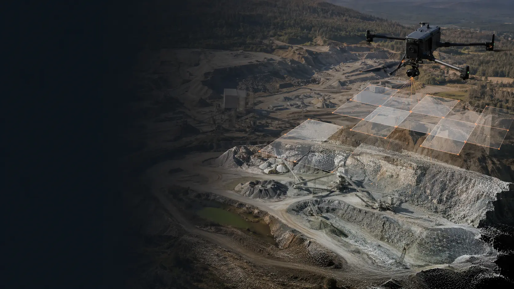
Create Current Terrain Information for Better Planning
Birdseye captures large areas efficiently and delivers clear terrain and site information in the format the project needs.
Explore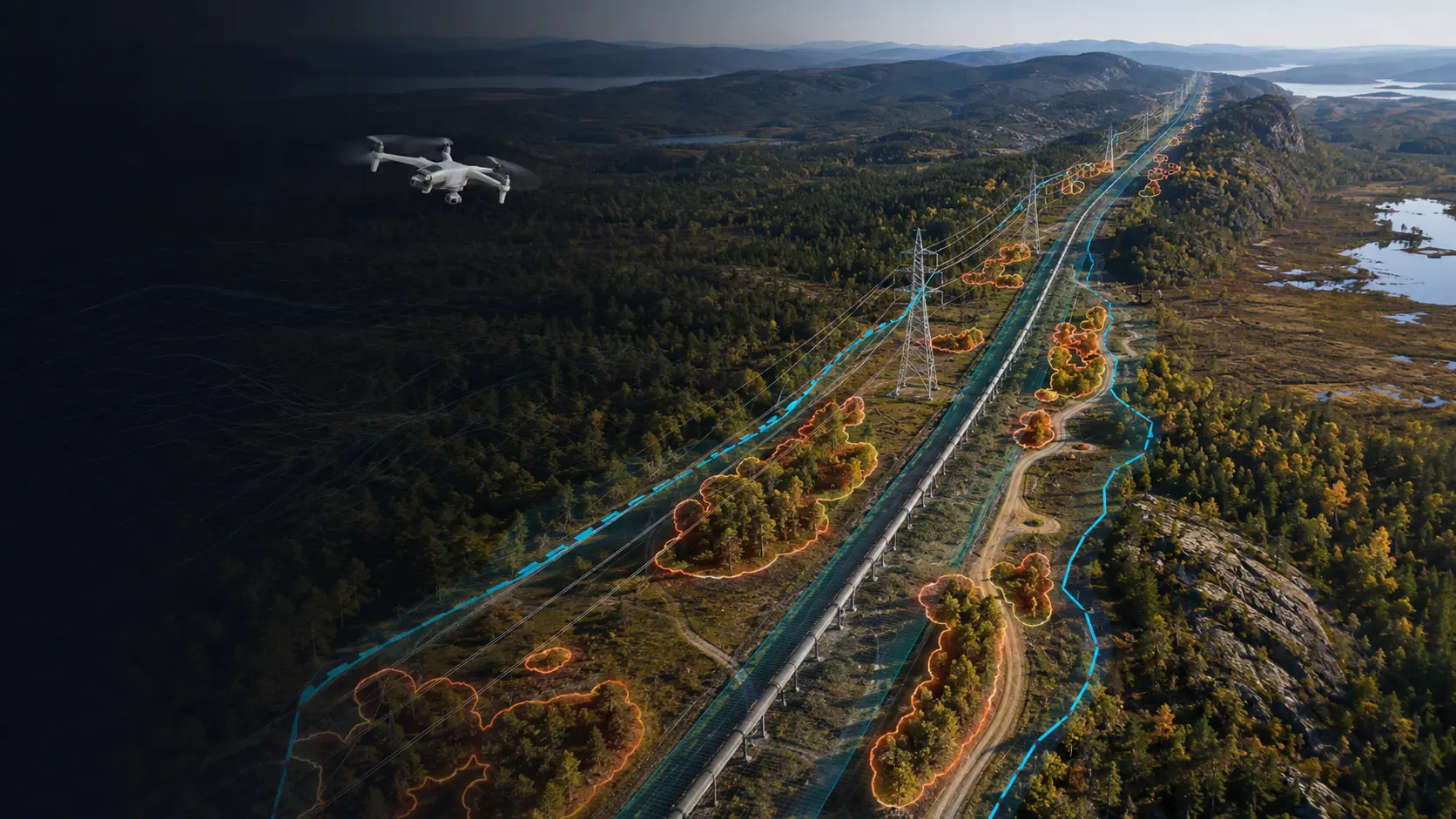
Create One Consistent View Along the Full Corridor
Birdseye maps linear infrastructure and its surrounding context so teams can plan, review and manage distributed assets more efficiently.
Explore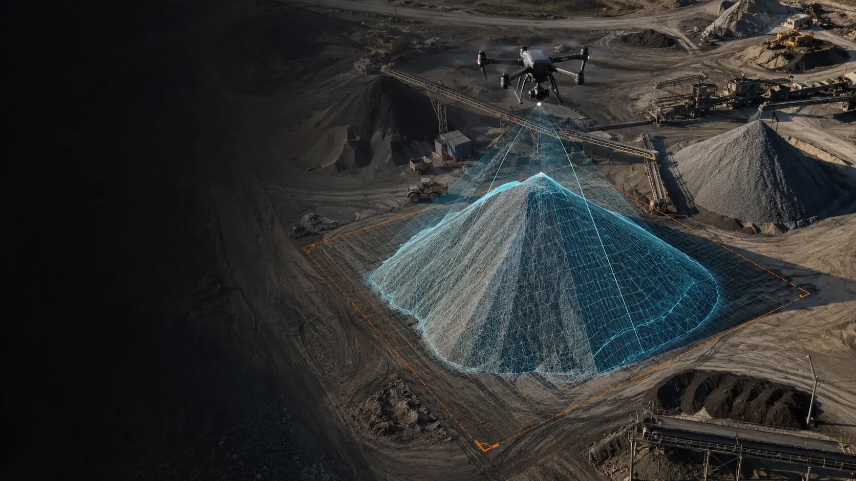
Measure Material Volumes with Clear Spatial Evidence
Birdseye creates repeatable volume information for stock control, earthworks, planning and progress review.
Explore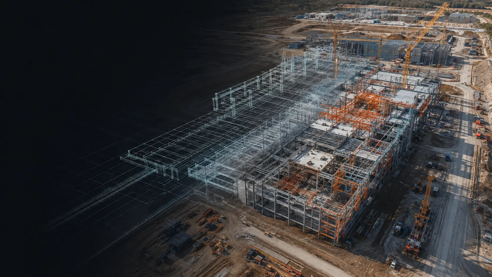
Create a Clear, Repeatable View of Project Progress
Birdseye documents site development over time so project teams can compare progress and communicate with consistent evidence.
ExploreYour asset. Your decision.