


Aerial Project Tracking for Smarter Execution & Transparent Reporting
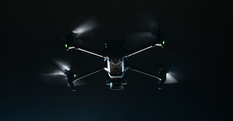
Keep your projects moving with real-time, drone-enabled progress monitoring. Birdseye delivers high-resolution aerial data and actionable insights to stay on schedule, reduce risk, and improve stakeholder communication.
Why Choose Drone-Based Project Monitoring with Birdseye?
Birdseye View of Your Entire Project
Our industrial drones capture high-resolution images and videos of construction sites, giving you a complete overview of progress, updated as frequently as needed—weekly, biweekly, or milestone-based.

Data-Backed Project Insights
Track various stages, verify material movement, measure earthwork volumes, and compare progress against planned timelines with georeferenced drone data and 3D models.

Improve Transparency and Reporting
Provide real-time visual updates to investors, clients, and internal teams with photo documentation, interactive maps, and dashboards customized for your stakeholders.
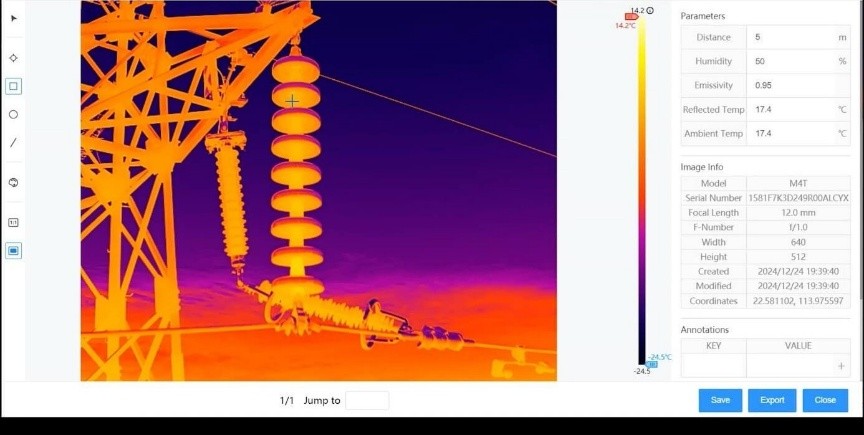
Whether you're managing a single tower or a 500-acre industrial township, Birdseye delivers the data you need to make faster, more informed decisions.
3D topographic models & digital elevation models (DEM/DSM)
Volumetric analysis for excavation and stockpile tracking
Time-lapse visuals and monthly progress comparisons
Integration-ready formats for AutoCAD, GIS, and BIM
How Birdseye Adds Value to Your Projects
Visual Verification of Work Completed
Progress vs. Schedule Analysis
Performance Tracking
Reduced Site Visits for Managers & Clients
Strong Documentation for Dispute Resolution & Claims
Birdseye helps you avoid surprises, identify delays early, and keep your project aligned with budget and timeline goals.
Start Tracking Your Project Smarter
Want better visibility, tighter control, and stronger reporting? Let Birdseye’s drone-powered project monitoring services transform how you manage your projects.