
Industry
Inspect Critical Marine Spaces with Less Access and Downtime
Birdseye helps shipowners, operators and inspection teams collect clear evidence from tanks, hull structures and difficult marine environments.
The Customer Challenge
Cargo and ballast tanks, hull structures and marine facilities are demanding to access. Traditional inspection may require scaffolding, rafting, rope access or extensive confined-space preparation, while vessel availability remains commercially important.
How Birdseye Helps
Birdseye uses remote visual inspection, suitable ultrasonic thickness measurement and 3D capture to document difficult areas. We organize the evidence so survey, maintenance and engineering teams can identify locations and plan follow-up work.
Typical Assets
- Cargo oil and ballast tanks
- Hull structures, web frames and internal surfaces
- Marine terminals, port structures and coastal assets
- Pipelines, voids and difficult vessel spaces
Relevant Birdseye Solutions
- Indoor & Confined-Space Solutions - visual, thickness and spatial evidence inside tanks and structures
- Reality Capture & Digital Engineering - 3D records and engineering-ready geometry
- Asset Intelligence & Assessment - structured findings and comparison over time
- Outdoor Asset Intelligence - external, port and coastal mapping support
What You Receive
- Visual inspection records and annotated findings
- Ultrasonic readings where technically suitable
- 3D point clouds and location context
- Structured reports for maintenance and survey review
Value for Your Business
- Reduce unnecessary scaffolding, rafting and human entry
- Shorten inspection preparation and improve coverage visibility
- Support maintenance planning with traceable evidence
- Help protect vessel availability and control inspection cost
Explore the solution path
Connect the right capabilities.
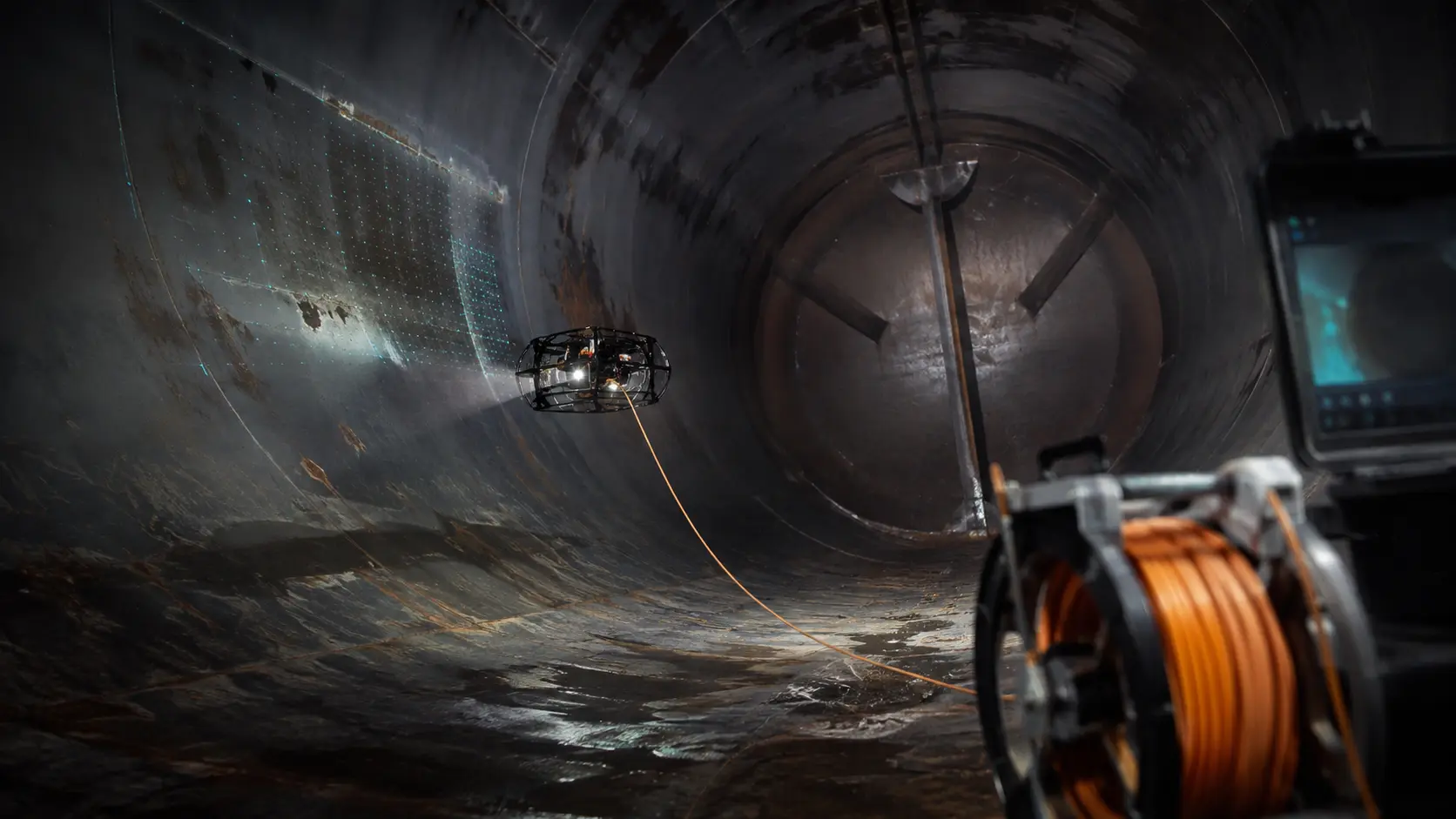
Indoor & Confined-Space Solutions
Inspect difficult or hazardous internal spaces while reducing unnecessary human entry, access preparation and operational disruption.
Explore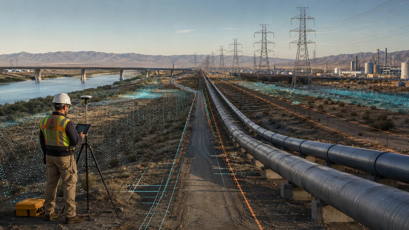
Outdoor Asset Intelligence
Understand large sites, corridors and infrastructure faster with consistent spatial information for planning, monitoring and operational decisions.
Explore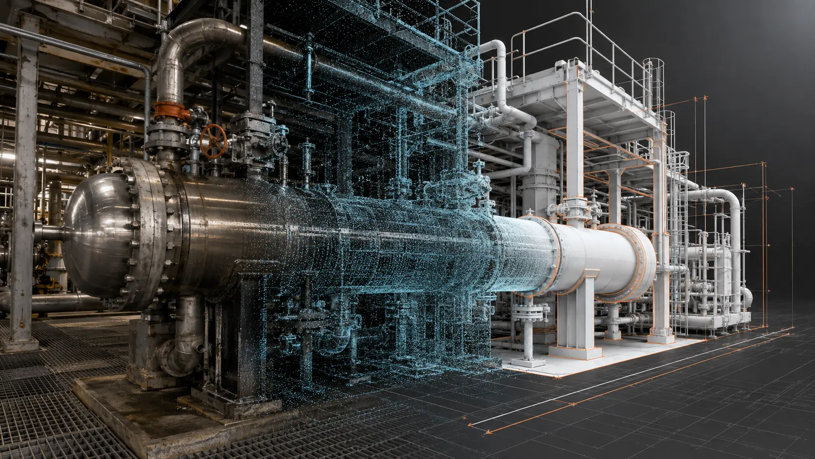
Reality Capture & Digital Engineering
Create a reliable digital record of the physical asset and give engineering teams the information they need for design, maintenance, retrofit and verification.
Explore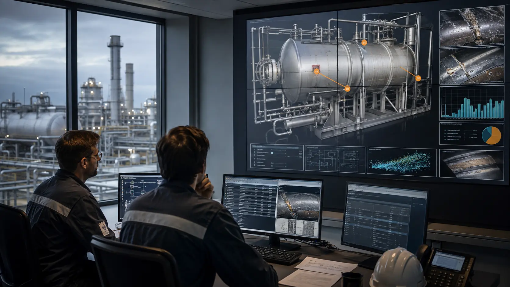
Asset Intelligence & Assessment
Turn inspection images, measurements, maps and 3D data into clear findings that help asset teams understand condition and focus action.
ExploreYour asset. Your decision.