
Industry
Inspect Confined Water Infrastructure with Less Human Entry
Birdseye helps water and wastewater teams understand pipelines, sewers, canals and treatment assets that are difficult, wet, buried or hazardous to enter.
The Customer Challenge
Pipelines, sewers and underground canals can contain strong currents, poor visibility, gases, biohazards and uncertain structural conditions. Conventional entry or manual closed-circuit television work can be slow and may not provide the spatial context needed for repair planning.
How Birdseye Helps
Birdseye uses suitable remote inspection and 3D capture methods to collect imagery, video, LiDAR and location information. Findings are organized into traceable records that help teams understand condition and plan follow-up work.
Typical Assets
- Stormwater and wastewater pipelines
- Sewers, underground canals and culverts
- Treatment plants, tanks and enclosed structures
- Drainage channels and water infrastructure
Relevant Birdseye Solutions
- Indoor & Confined-Space Solutions - inspect difficult internal environments
- Reality Capture & Digital Engineering - create spatial records and 3D context
- Asset Intelligence & Assessment - organize findings and repair priorities
- Outdoor Asset Intelligence - map drainage and surface-water systems
What You Receive
- Visual records and inspection video
- Geolocated points of interest
- LiDAR point clouds and 3D context
- Structured reports for maintenance planning
Value for Your Business
- Reduce unnecessary human entry into hazardous spaces
- Capture more complete and traceable condition evidence
- Identify issues sooner and plan repairs more efficiently
- Reduce disruption to surrounding infrastructure and operations
Explore the solution path
Connect the right capabilities.
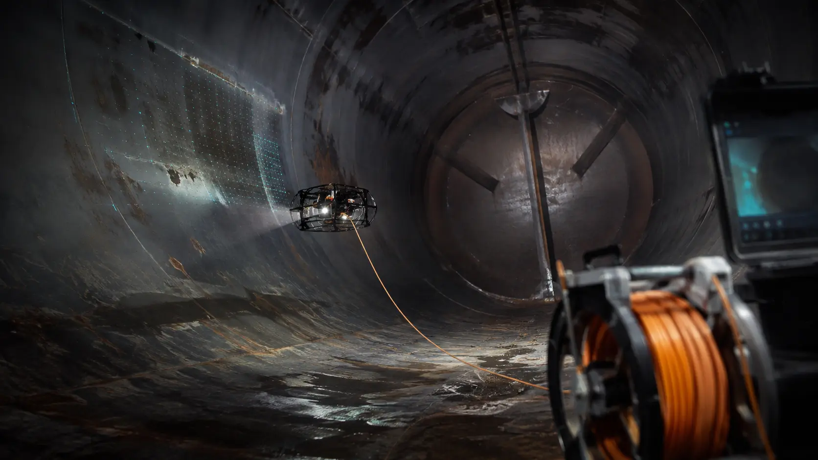
Indoor & Confined-Space Solutions
Inspect difficult or hazardous internal spaces while reducing unnecessary human entry, access preparation and operational disruption.
Explore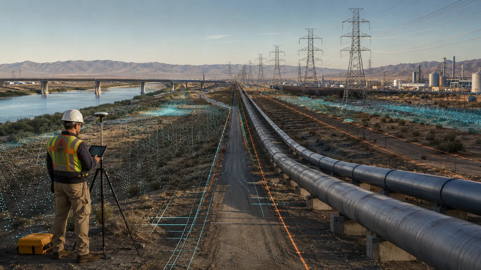
Outdoor Asset Intelligence
Understand large sites, corridors and infrastructure faster with consistent spatial information for planning, monitoring and operational decisions.
Explore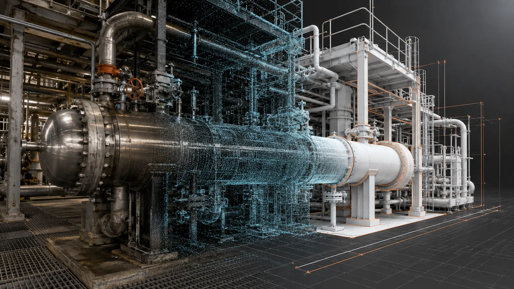
Reality Capture & Digital Engineering
Create a reliable digital record of the physical asset and give engineering teams the information they need for design, maintenance, retrofit and verification.
Explore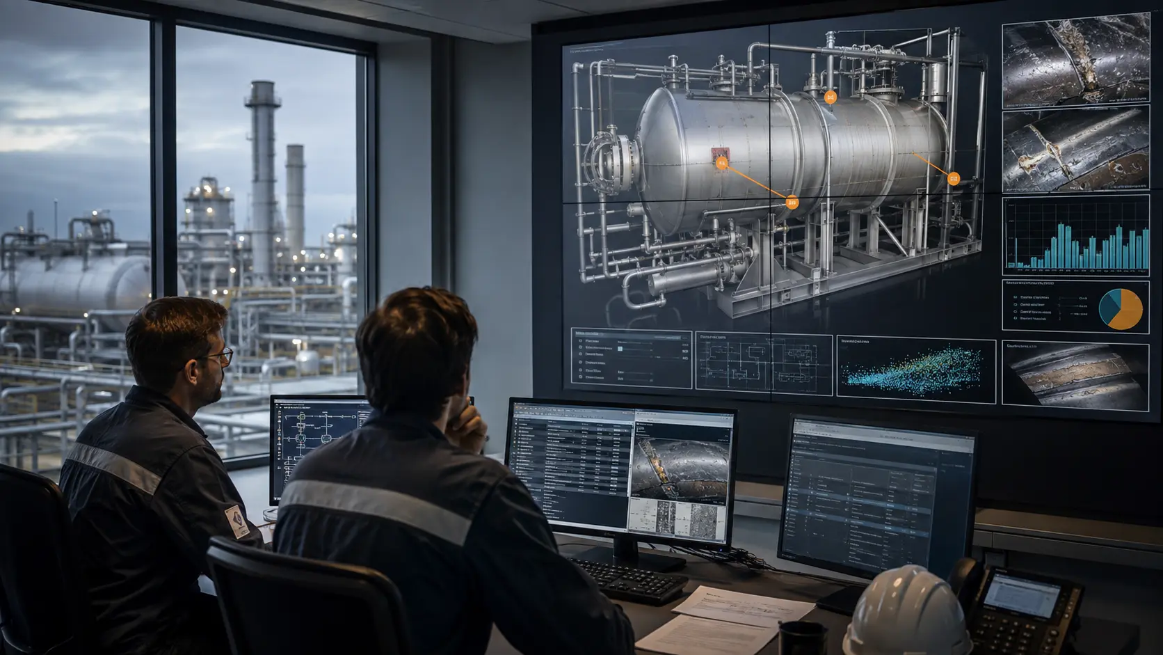
Asset Intelligence & Assessment
Turn inspection images, measurements, maps and 3D data into clear findings that help asset teams understand condition and focus action.
ExploreYour asset. Your decision.