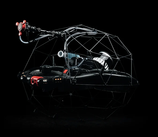
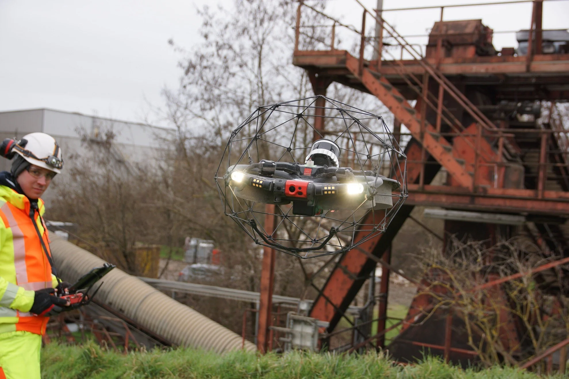
At Birdseye, we don’t just scan landscapes—we decode them. Our platform fuses drone photogrammetry, LiDAR, and AI to deliver volumetric insights that are:
Interactive 3D models you can explore, not just read.
Sub-centimeter accuracy, validated by field-tested algorithms.
From a single site to global operations, we scale with you.
Real-time dashboards, alerts, and export-ready reports.

Eliminate manual measurements and guesswork. Achieve exact volume calculations in just minutes, not hours.

Automated workflows accelerate decision-making and reduce project delays by up to 40%.

Seamlessly integrates with GIS, BIM, and major project management platforms—no extra formatting or conversions needed.

Compare historical scans to monitor progress, erosion, or material shifts with up to 98% accuracy.

| Industry | Use Case |
|---|---|
Construction | Cut/fill analysis, site grading, material tracking |
Mining | Stockpile measurement, pit volume, compliance reporting |
Agriculture | Biomass estimation, terrain modeling, yield forecasting |
Forestry | Canopy volume, deforestation tracking, carbon analysis |
Environmental | Coastal erosion, flood modeling, landform change |
Urban Planning | Infrastructure modeling, zoning analysis, 3D mapping |
Partner with us today to capture, model, and transform your vision into reality.

