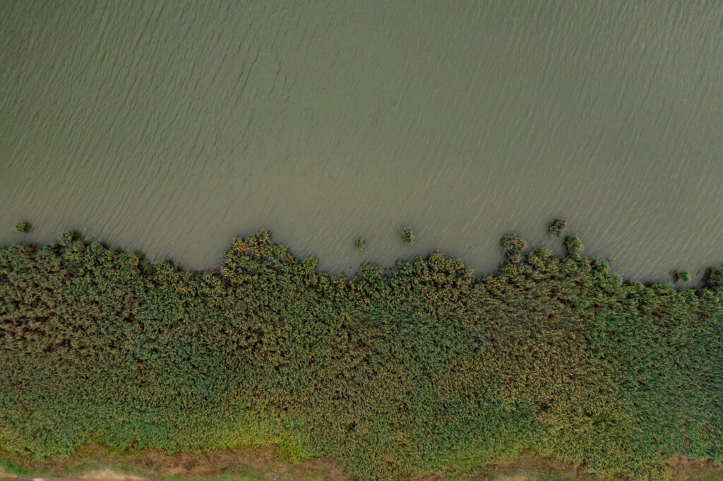

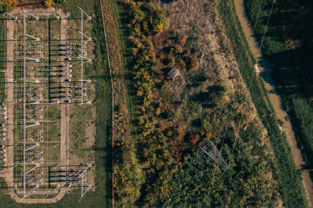
Capture vegetation density, canopy height, and proximity to infrastructure using multi-spectral and LiDAR-equipped drones.

Detect land use violations, informal settlements, and tree encroachments along linear corridors and property boundaries.

We deliver geo-tagged datasets, annotated maps, and visual insights compatible with your asset management or GIS platforms.

Leverage historical drone data and AI to predict future risks and optimize trimming or clearance schedules.
Our drones capture high-resolution images, LiDAR data, and NDVI maps to analyze vegetation health and spread.

Get access to interactive maps, encroachment heatmaps, and custom reports with clear action points and risk zones.

We assess your site, corridor, or asset network and plan drone flight paths to maximize coverage.

Our team processes and classifies vegetation and encroachment areas using advanced mapping software and spatial algorithms.