Revolutionizing the Way Mines Are Seen, Understood, and Managed
Reimagine safety, speed, and precision in your mining operations—BirdsEye delivers actionable insights through high-performance drones and LiDAR technology, even in the harshest underground and open-pit conditions.
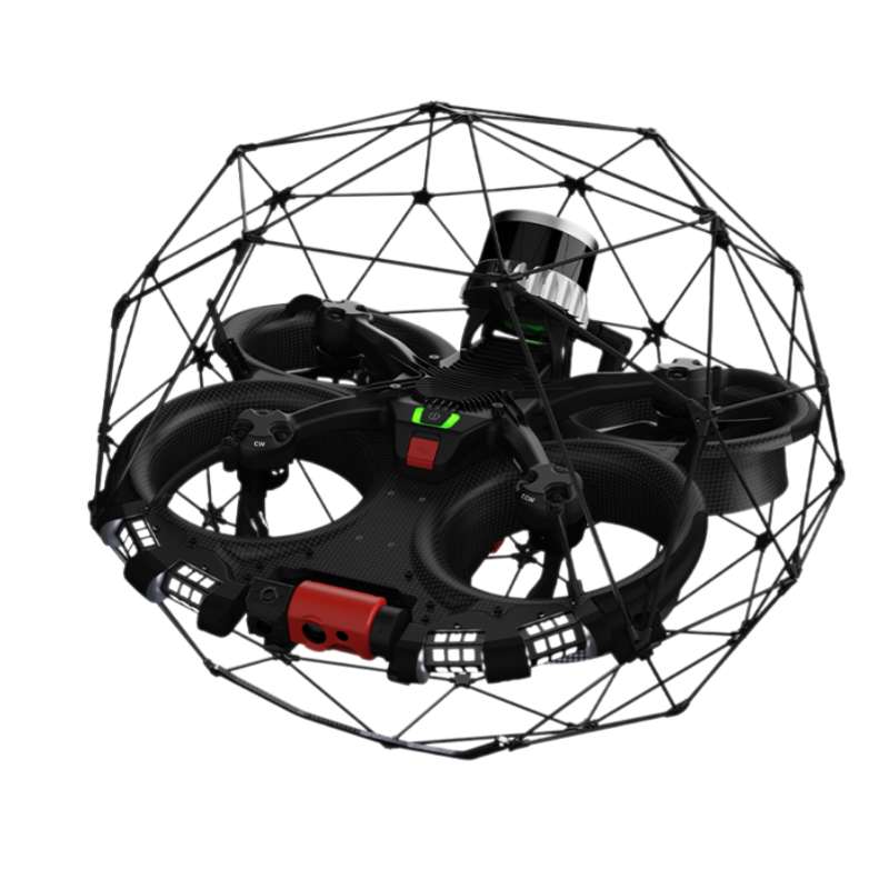
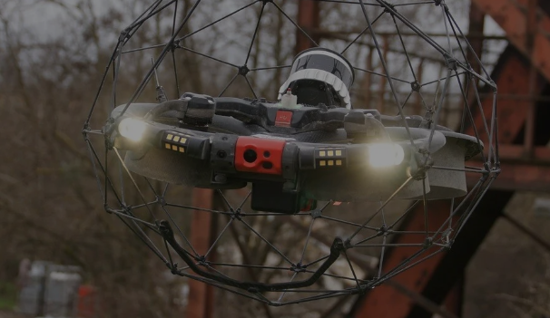
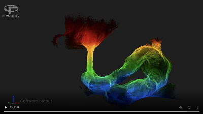
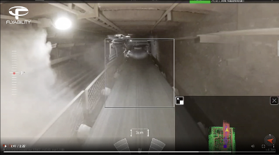
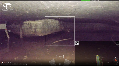
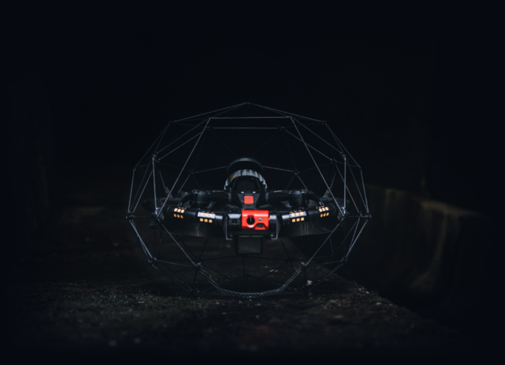
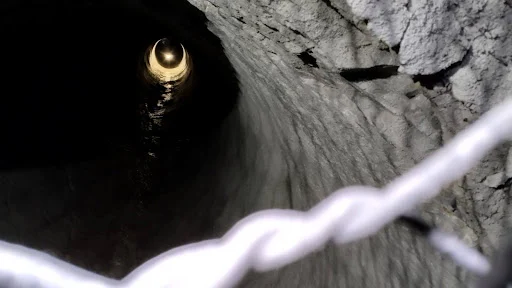
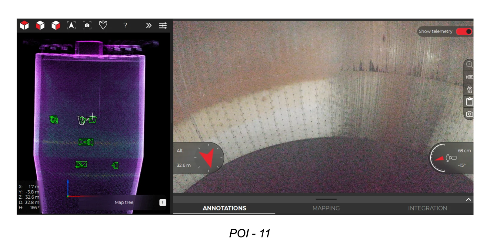
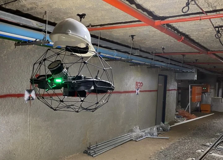
Elios 3 is equipped with advanced payloads—LiDAR, thermal imaging, UT sensors, gas detectors, and 4K cameras—to deliver precision in the harshest conditions
Why BirdsEye for Mining Industry
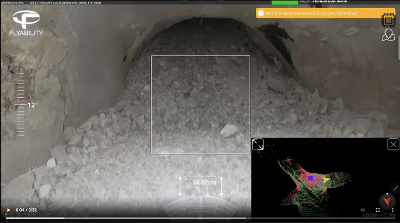
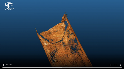
Zero Human Exposure in high-risk zones
<48-Hour Data Turnaround for inspections and surveys