Protect Your Infrastructure from Hidden Ground Risks
Erosion and poor drainage are silent threats to structural stability, asset lifespan, and operational safety. At Birdseye, we provide high-precision Erosion and Drainage Mapping using aerial, thermal, and 3D data to help you detect subsurface threats early and take informed corrective action.
Whether it’s an industrial facility, utility corridor, storage yard, dam, or remote pipeline, ground conditions directly impact structural health. Undetected erosion or drainage failures can lead to:
Foundation instability and asset settlement
Soil washouts, sinkholes, or slope failures
Water pooling and corrosion acceleration
Environmental compliance issues
Unplanned maintenance and high repair costs
Our Capabilities
We combine drone-based imaging, 3D terrain modeling, and thermal & moisture detection to deliver accurate, high-resolution erosion and drainage maps.
Our Services Include:
Topographical Mapping using drones and LiDAR
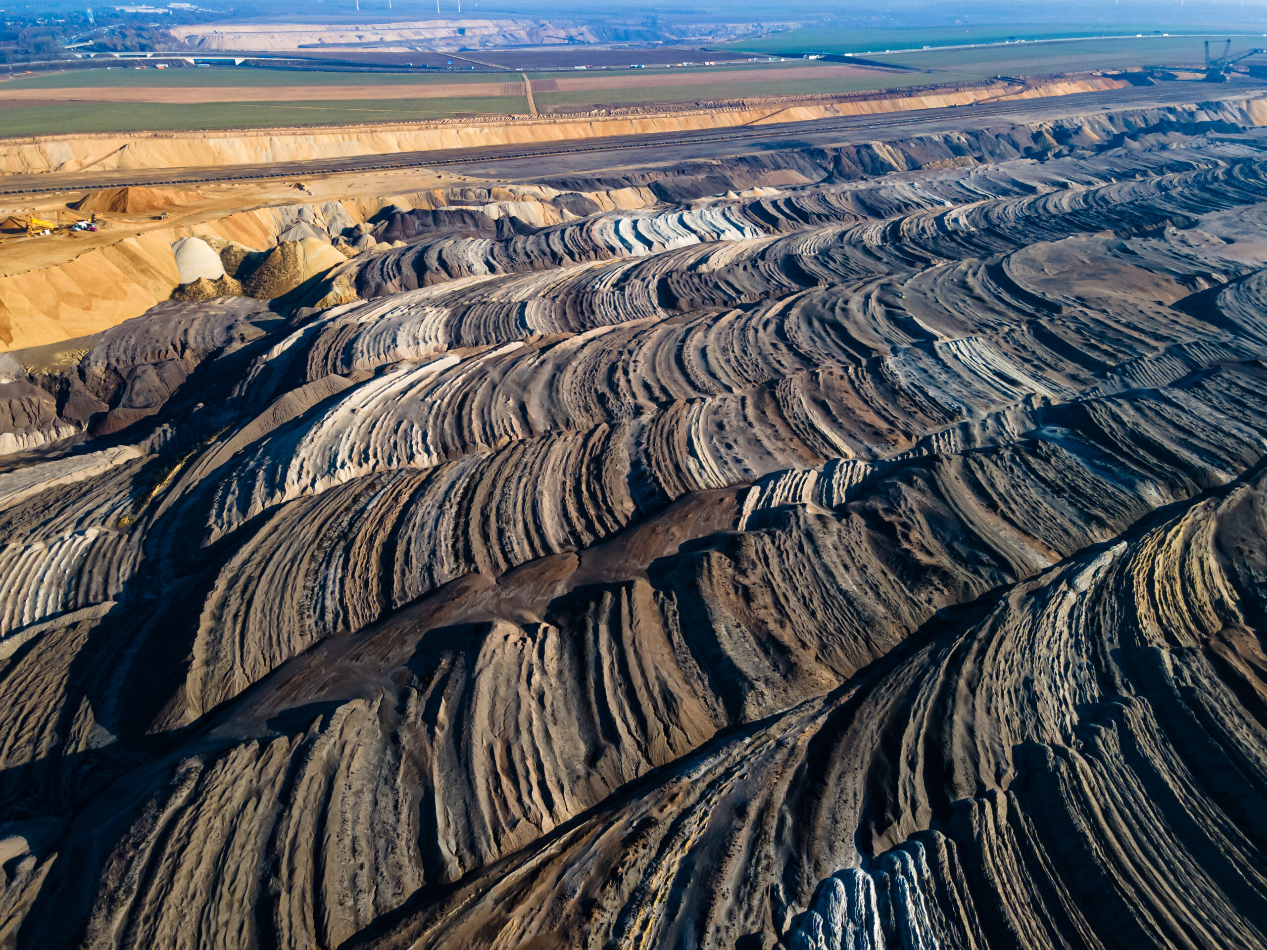
Surface Deformation & Erosion Zone Detection
Slope Stability & Grading Analysis
Drainage Pathway Mapping & Water Flow Modeling
Moisture and Thermal Imaging (for water pooling or seepage)
Digital Twin Generation for Change Tracking
AI-Assisted Risk Identification
How We Work
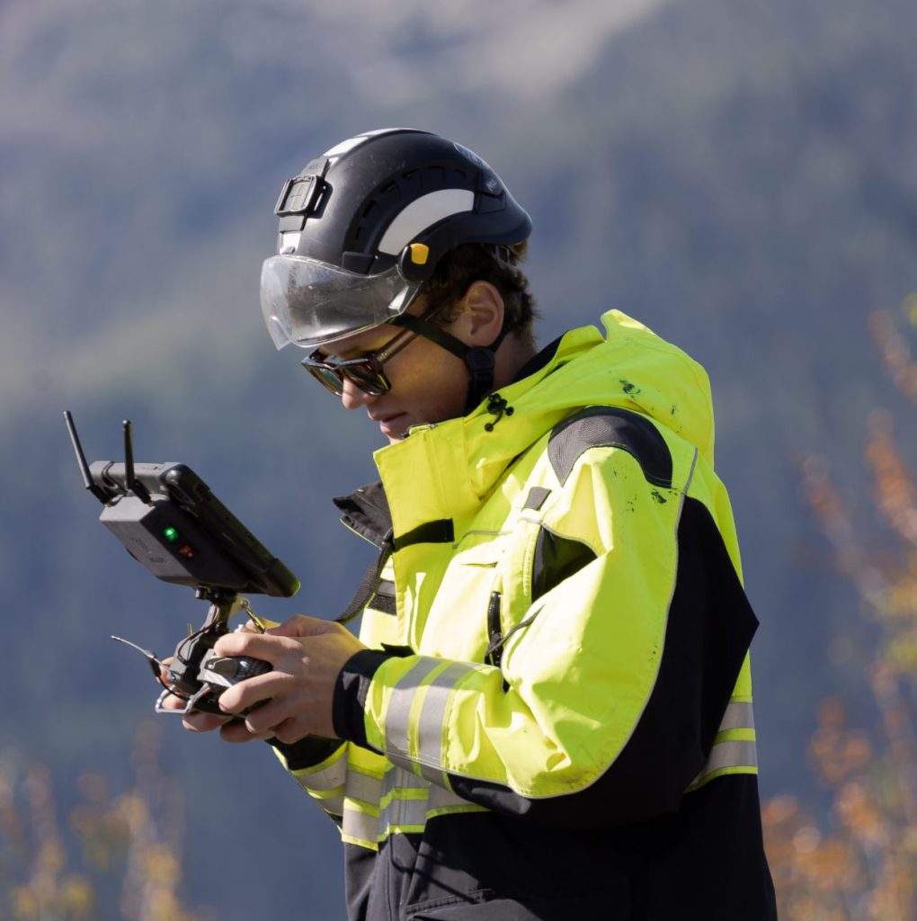
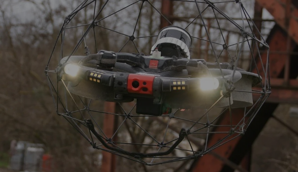
Aerial Data Capture
Using drones equipped with high-res cameras and sensors
3D Modeling
Create detailed digital terrain models (DTMs) and orthomosaics
Analysis & Reporting
Identify erosion patterns, drainage failures, and risks
Recommendations
Actionable insights to support civil, geotechnical, or maintenance teams
Applications
Industrial Sites & Facilities
Pipelines & Access Roads
Dams, Slopes & Embankments
Coastal or Riverfront Infrastructure
Construction Sites & Land Developments
Mines, Quarries, and Storage Yards
Deliverables
Erosion Risk Maps
Drainage Pathway Models
Moisture & Thermal Overlays
Elevation Profiles & Contour Maps
Orthomosaic Imagery & Point Clouds
Compliance-ready Reports
“We had no idea how extensive the erosion was until we saw Birdseye’s mapping output. Their analysis helped us reinforce our tank base before it became a major safety issue.” – Our Client Says
Get a Site Evaluation
Want to identify hidden ground risks before they impact your operations?