

We bring hands-on experience across sectors like oil & gas, utilities, infrastructure, and manufacturing — delivering inspection and mapping solutions that work in the real world.

Whether it's LiDAR, photogrammetry, or SLAM-based mapping, we use the right technique for the job — tailored to your asset type, environment, and accuracy needs.

We don’t just collect data — we connect it. Our outputs are ready for integration into GIS, BIM, CAD systems, and Digital Twin platforms, ensuring smoother workflows and smarter decisions.

Expect clear, detailed, and actionable outputs. From accurate 3D models to comprehensive reports, we deliver data that drives results — not confusion.

We operate with strict adherence to safety protocols and data privacy standards, giving you peace of mind in high-risk or regulated environments.

We integrate with advanced post-processing platforms that enable AI-driven anomaly detection, feature extraction, and automated reporting. This means faster insights and fewer human errors — setting the stage for predictive maintenance.

Our drones generate real-time 3D maps using SLAM (Simultaneous Localization and Mapping) technology. This empowers operators to navigate complex environments on the fly — ideal for confined spaces and time-critical missions.

All 3D outputs are compatible with AR and VR platforms, allowing for immersive walkthroughs, remote collaboration, and next-gen training simulations — turning inspections into interactive experiences.

We make teamwork seamless. Through platforms like Flyability’s Inspector software, your inspection data can be uploaded, shared, annotated, and reviewed from anywhere — connecting teams across departments and geographies.

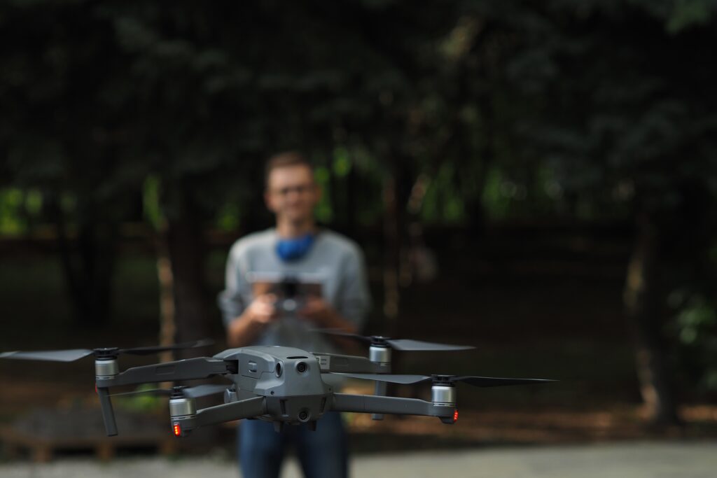
Deploy in minutes with a compact, field-ready system. Our drone-based mapping solutions are portable and operator-friendly, enabling quick mobilization even in the most challenging environments.