Capture your assets in millions of data points—for engineering-grade accuracy
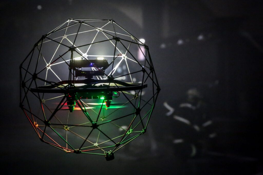
Birdseye leveragesstate-of-the-artLiDAR drone technology to generate real-time, survey-grade 3D point clouds. These detailed spatial datasets are essential for applications like advanced 3D modeling, precise site measurements, CAD plan creation, and building digital twins — offering unmatched accuracy for construction, engineering, and asset management projects.
Our point clouds capture millions of precise coordinates, creating rich digital environments that can be visualized, measured, and analyzed at every stage of your project lifecycle. Through advanced drone and LiDAR technology, we generate large, dynamic datasets that serve as the foundation for critical decision-making.
Applications of 3D Point Cloud Generation
As-built documentation
Structural inspection
Reverse engineering
Digital twin creation
Volume Measurements
Clash detection and planning
"When accuracy, access, and speed matter — Birdseye delivers 3D point cloud solutions you can build on.
What You Get
Dense, colorized point clouds
Noise-filtered and classified data
Ground, structure, and vegetation segmentation
Custom coordinate systems and georeferencing
Cloud hosting and collaboration tools
Reimagine Your Projects With Birdseye Excellence
Partner with us today to capture, model, and transform your vision into reality.